


By Venerable Zhirui, Jakarta
Chih-Lin Liu, a postdoctoral researcher in the Department of Urban Planning at National Cheng Kung University and a visiting scholar at the Fo Guang Shan Institute of Humanistic Buddhism, attended international academic conferences in the United States and Indonesia in August, where he presented research on the “Fo Guang Shan carbon sink” and “community resilience.” By integrating satellite remote sensing, geospatial information, and urban planning approaches, his work explores new interdisciplinary possibilities for studying religious sites and environmental sustainability.
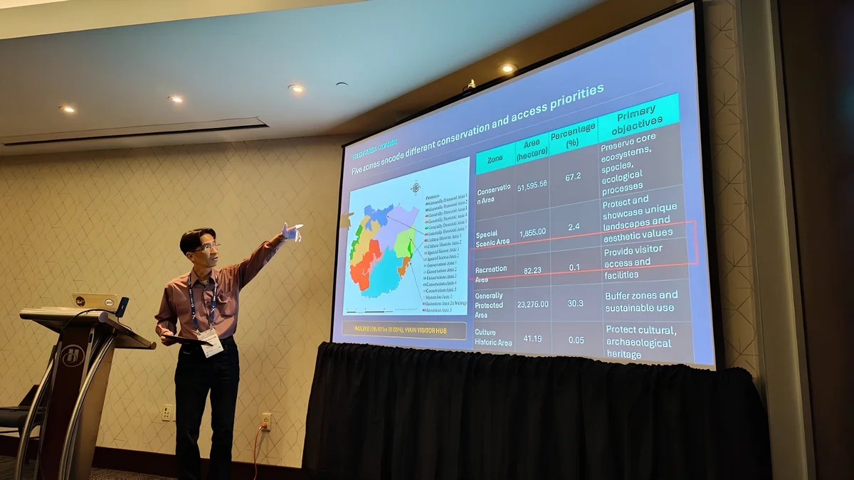
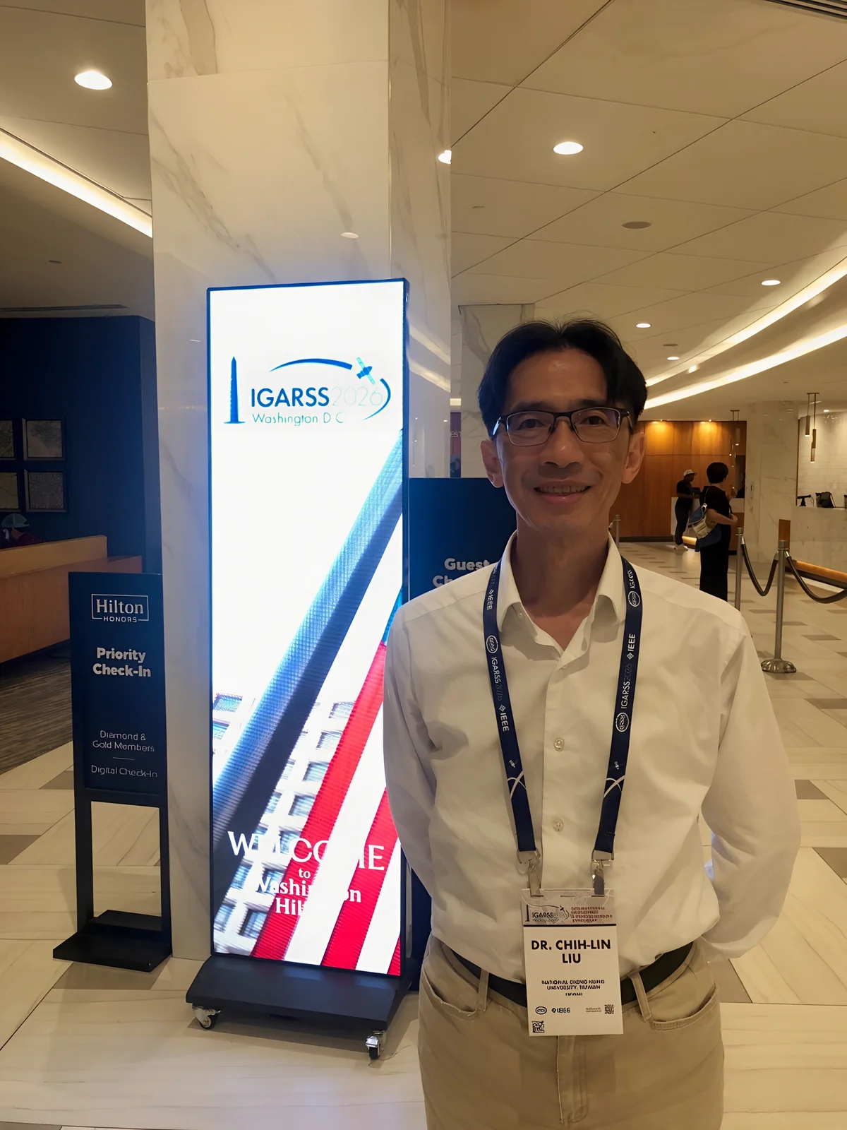
In mid-August, Liu traveled to Washington, D.C., to attend the International Geoscience and Remote Sensing Symposium (IGARSS), where he presented his research on the Fo Guang Shan carbon sink. Drawing on Earth observation, satellite remote sensing, and geospatial technologies, the study examines the ecological significance and carbon sink potential associated with long-term environmental practices at a religious site.
During the presentation, scholars affiliated with the National Aeronautics and Space Administration (NASA) and the U.S. Geological Survey (USGS), as well as researchers from several European countries, attended and expressed interest in the research. The exchange brought Fo Guang Shan’s long-standing environmental protection and greening practices to the attention of researchers in the international Earth observation and remote sensing community. During the exchange, an American scholar also noted that the research deserved greater attention from the international academic community.
Liu noted that satellite imagery, remote sensing applications, and GeoAI (geospatial artificial intelligence) are becoming increasingly integrated. These technologies are now widely applied to urban planning, climate change, and disaster research, while also offering new methodological possibilities for studying the environments of religious sites. He suggested that further research could use quantifiable and comparable spatial data to examine long-term tree planting, ecological conservation, and changes in land and environmental conditions.
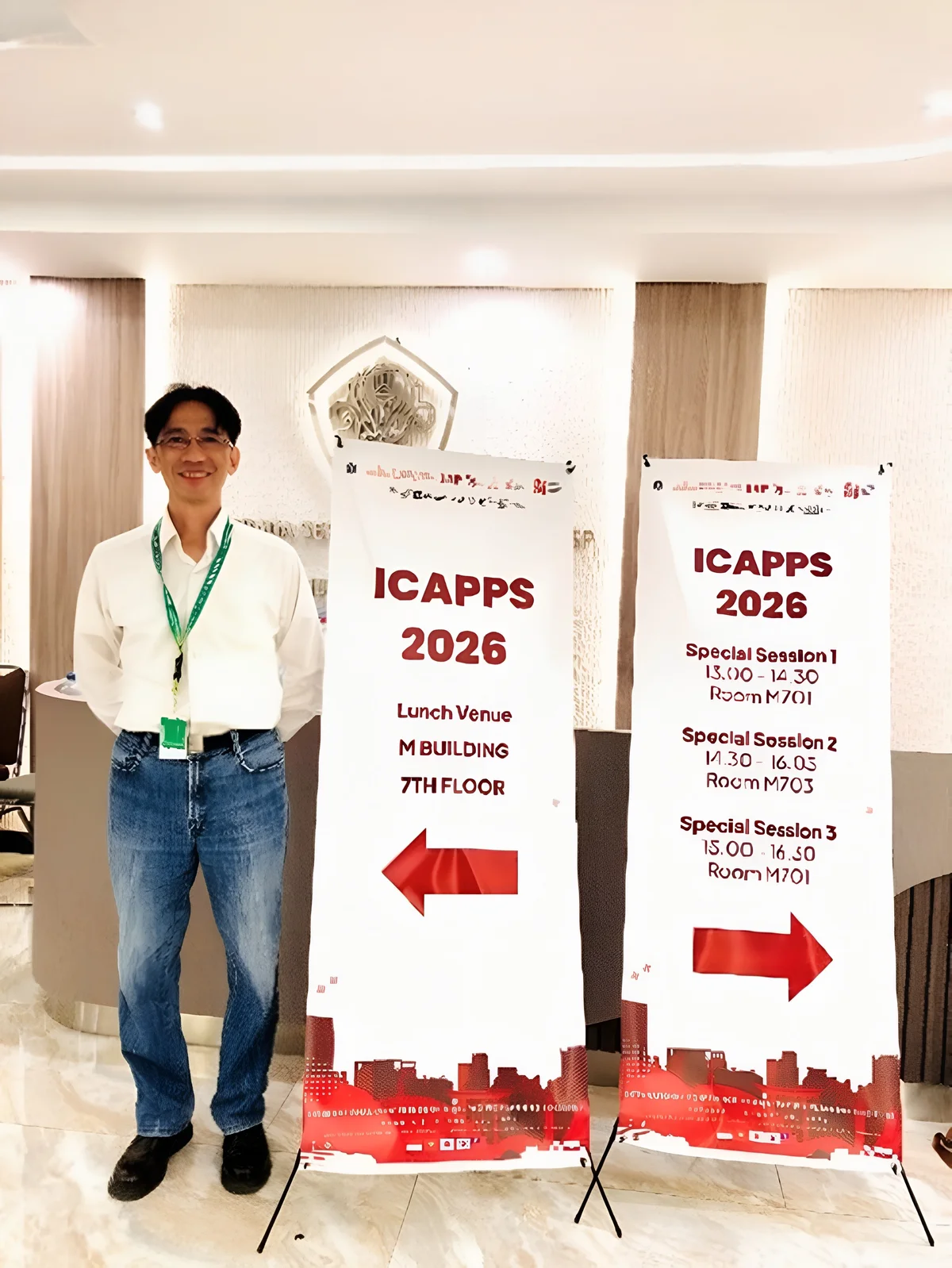
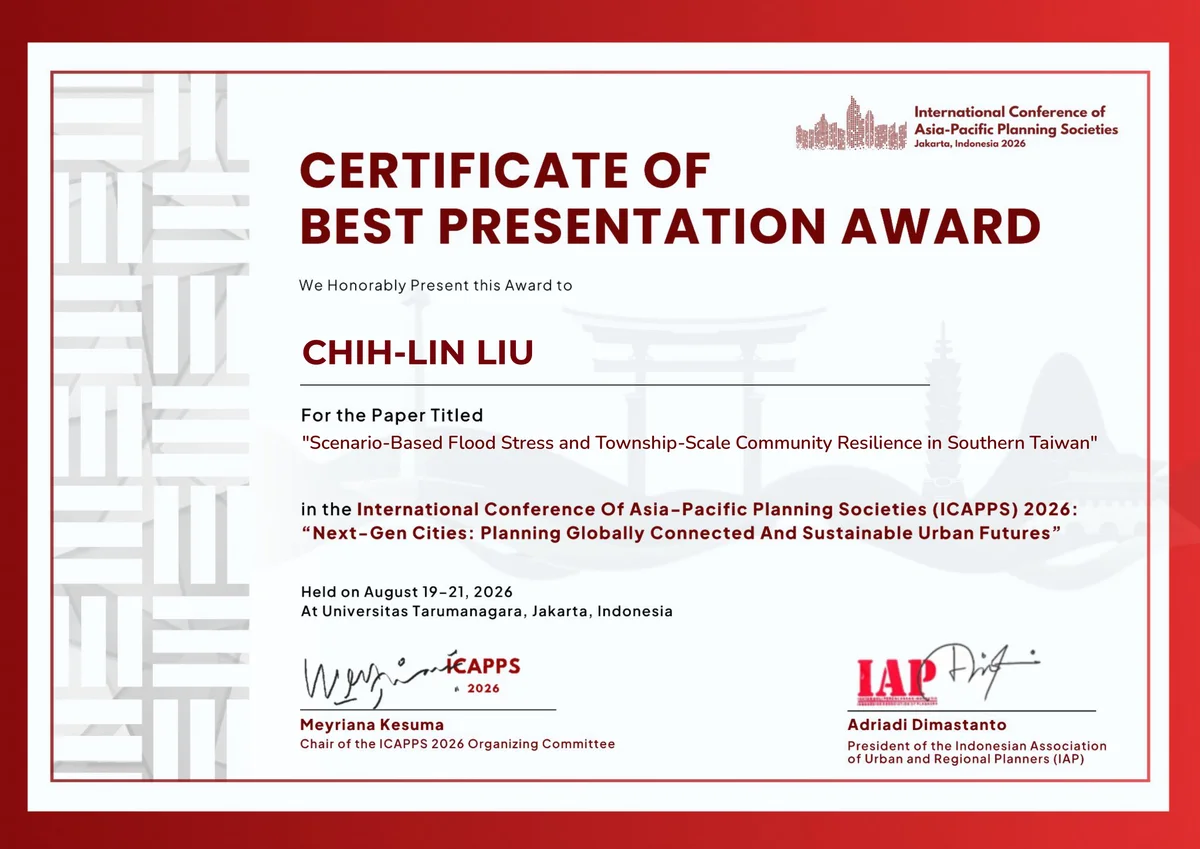
Following his trip to the United States, Liu traveled to Jakarta, Indonesia, to attend the International Conference of Asia-Pacific Planning Societies (ICAPPS) 2026. His paper, “Scenario-Based Flood Stress and Township-Scale Community Resilience in Southern Taiwan,” was accepted after review and presented on August 20 in the “Sustainable Urbanism” session. The official conference program lists the paper under code T017, with Chih-Lin Liu and Hsi-Chuan Wang as authors.
Conducted under the supervision of Professor Hsi-Chuan Wang of the Department of Urban Planning at National Cheng Kung University, the research focuses on community resilience and conducts scenario-based analysis across 128 townships in Chiayi City, Chiayi County, Tainan City, Kaohsiung City, and Pingtung County. The findings point to the need for closer integration between urban development site selection and disaster risk assessment. The paper received the conference’s Best Presentation Award.
Reflecting on his work—from the “Fo Guang Shan carbon sink” to “community resilience”—Liu said that although the two studies belong respectively to the fields of environmental remote sensing and urban disaster management, both are concerned with how people and their environments maintain adaptive capacity and continued functioning in the face of external change. Looking ahead, he hopes to further explore the concept of “religious resilience,” examining how religious organizations may contribute to sustained social resilience in the contexts of disasters, environmental change, community support, and local networks.
Liu’s participation in the two international conferences also points to an emerging intersection among geospatial information, remote sensing technologies, urban planning, and religious studies. From carbon sinks and ecological environments to community and religious resilience, such research moves beyond conceptual discussion by employing spatial data, scenario-based modeling, and empirical methods to examine religious practices within contemporary frameworks of environmental sustainability and social resilience.
評論(0)
目前沒有評論,歡迎分享您的看法。
登入會員後即可發表評論、回覆及讚。